Devpost
Participate in our public hackathons
Devpost for Teams
Access your company's private hackathons
Grow your developer ecosystem and promote your platform
Drive innovation, collaboration, and retention within your organization
By use case
Blog
Insights into hackathon planning and participation
Customer stories
Inspiration from peers and other industry leaders
Planning guides
Best practices for planning online and in-person hackathons
Webinars & events
Upcoming events and on-demand recordings
Help desk
Common questions and support documentation
California: home to Esri, but also home to some of the worst air quality in the country. Our Android app empowers users to see what others can't through realtime data and visualizations of pollutants.
Using GIS and Software Development to improve access to bike transit in Washington DC
safejourney is the safety with numbers app, where we harness the power of GIS to get you to your destination in the safest way possible. Whether you're walking or biking, safejourney has you covered.
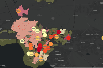
HeatVIS is an ArcGIS web application that uses temperature and demographic data layers to visualize the disproportionate effects of urban heat islands on underprivileged communities in Los Angeles.
VaxFinder helps people locate vaccination clinics quickly and effectively. Users are able to simply text a phone number, then we respond with the best possible location and route.
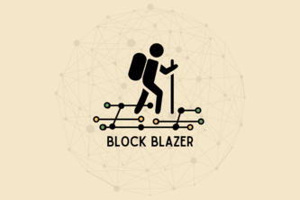
The Reward to Explore! With a GeoBlockchain enabled Trails and Routes App, those who enjoy hiking now have an opportunity to earn rewards towards their next outdoor adventure.
City farms are great, but where to start? Planners waste time and money searching for sites. But now there's Truss - a site suitability app that locates vacant city parcels for potential urban farms.
Using AQI, Asthma, and Hospital location data, we are able to identify high risk areas for air pollution related illnesses.
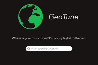
Where is your music from? Put your playlist to the test.
1 – 9 of 9